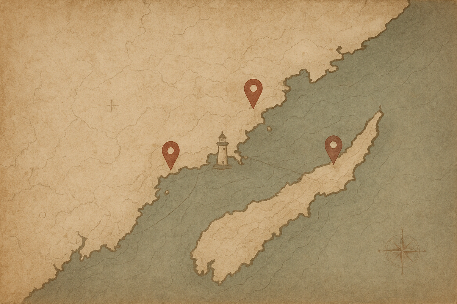
Reading the Preserved Towers Map

This map is built to show more than lighthouse names: each location connects geography, present condition, and the historic coastline context that shaped daily keeper life.

  • Position — where each preserved tower sits along the northern coast.
  • Condition — whether a site is fully restored, partially preserved, or in protected ruin.
  • Coastline relation — how tower spacing follows harbors, cliffs, and historic shipping routes.
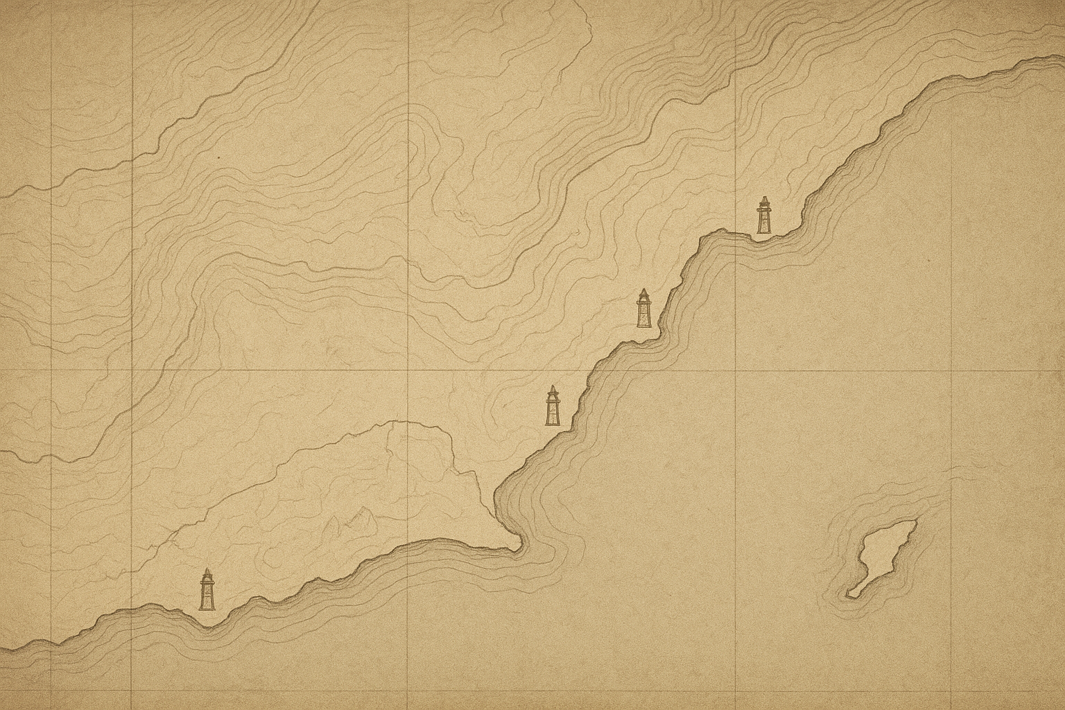
Archival-style coastal map panel with light paper texture, hand-drawn shoreline lines, and subtle markers indicating preserved lighthouse towers

PRESERVED TOWER REFERENCE

Preserved Towers Map

Northern Coast lighthouse locations with archival context

A static editorial map of preserved towers, combining geographic orientation with concise notes on setting, condition, and stewardship across the coast.

Editorial-style map of the northern coastline with preserved lighthouse markers, soft contour lines, and archival cartographic labeling
Cape Alder Blackstone Point Hearth Bay North Shoal
Coastline contours, keeper-route traces, and preservation markers rendered in an archival cartographic style.